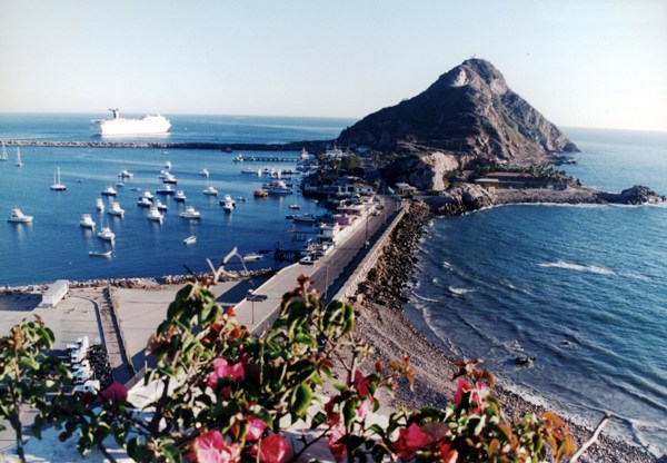
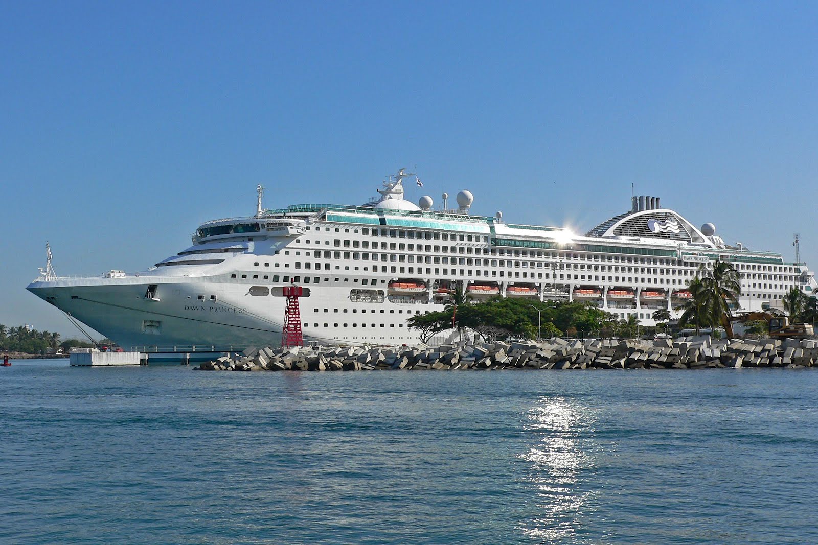
The Free and Sovereign State of Sinaloa is one of the 31 states with the Federal District comprise the 32 states Hotels.com guest. It is located northwest of the country, on the coast of the Gulf of California, bordered on the north by Sonora, Chihuahua and Durango east (separated from them by the Sierra Madre Occidental) and Nayarit to the south. Its capital is Culiacán, an industrial and agricultural importance, with approximately 858.638 inhabitants. Next in importance and size Mazatlán major tourist destination, and fishing port with approximately 438.434 inhabitants, and Los Mochis, an agricultural center, fishing, tourism and industry with approximately 416.299 inhabitants.
Sinaloa is the most important agricultural state of Mexico, in addition, has the second largest fishing fleet in the country. Culturally, it is known nationally and even internationally for its traditional music, or Tambora Band. The Ulama, regional version of the pre-Hispanic ball game, is still practiced in the state.
Sinaloa is located on a naturally fertile region, has 11 rivers and 12 reservoirs, the newest of which Picachos Dam, located in the Rio Presidio at the boundaries of the municipalities of Mazatlán and Concordia. It has 656 kilometers of coastline belonging mostly to the Gulf of California and the Pacific Ocean. Besides having 12 bays and 15 estuaries.
Sinaloa is divided into 18 municipalities (listed north to south): Choix, El Fuerte, Ahome, Guasave, Sinaloa, Mocorito, Angostura, Salvador Alvarado, Badiraguato, Culiacán, Navolato, Cosalá, Elota, San Ignacio, Mazatlan, Concordia, Rosario and Escuinapa.

Climate
The state has 48% subhumid warm climate located in a
northeast-southeast strip stretching from Choix to the border with Nayarit, 40%
is dry and semidry present in a belt stretching from El Fuerte to Mazatlan, 10%
is very dry and is located in the Los Mochis, the remaining 2% is temperate
subhumid located in the highlands of the Sierra Madre Occidental.
The average annual temperature in the state is around
25 ° C, the average minimum temperatures are about 10.5 ° C in January and the
highest average may be higher than 36 ° C during the months of May to July.
Most rainfall occurs in the summer during the months
of July to September, the state's average rainfall is 790 mm per year.
Sinaloa is national agricultural producer, the main
growing areas are in dry and semi-dry climates, so it requires irrigation being
the main crops: corn, beans, potatoes, safflower, soybean, cotton, sorghum,
chickpeas and safflower among others. In the region with warm humid climate is
grown tomatoes, watermelon, melon, vegetables and fruits like mango, in its
different varieties Kent, Tommy and Keiit mainly.
- 40% dry and semidry
- Warm humid 48%
- Very dry 10%
- Temperate subhumid 2%
Surface
Sinaloa has an area of 57,365 square kilometers
(km2), therefore ranks 18 nationally.
Percentage territorial
The state of Sinaloa represents 2.9% of the country's
area.
Coastal
Sinaloa has 622 km of coastline, representing 5.6% of
the national total.
Population
According to data II threw the Population and Housing
Census conducted by the National Institute of Statistics and Geography (INEGI)
with census date of 12 June 2010, the state of Sinaloa until this year had a
total of 2,767,761 inhabitants of that number, 1,376,201 were men and 1,391,560
were women.2 The annual growth rate for the entity during the period 2005-2010
was 1.2%.
MAZATLAN BEACH.


No comments:
Post a Comment